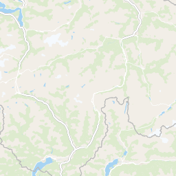
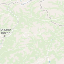
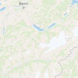
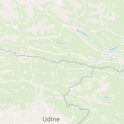
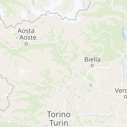
Classic Climbs: The Dolomites 2025-2026 +− Lines Day 1 Day 2 Day 3 Day 4 Day 5 Day 6 Markers Arrival Airport Departure Airport Meeting Point Departure Point HotelWaymark | Thunderforest, Data © OpenStreetMap contributors x02468101214161820222426283032km1,0001,2001,4001,6001,800mAltitudeTotal Length: 32.76 kmMax. Elevation: 1877.70 mMin. Elevation: 973.10 mTotal Ascent: 1772 mTotal Descent: 1182 m Click on the routes to see daily elevation information.