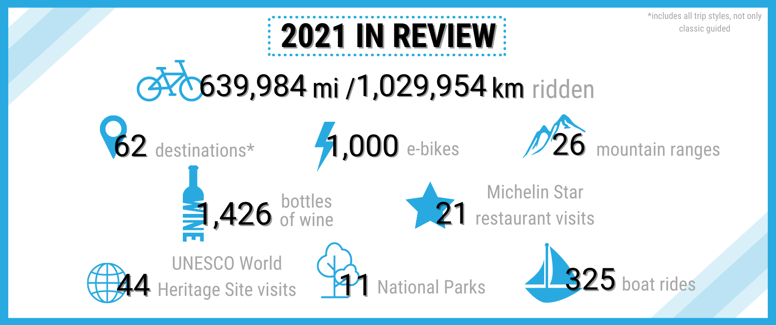
Sometimes magic comes in unexpected packages, like not having to worry about bringing pedals or a helmet (we’ve got you covered), or in the photos we collect and share with you after every vacation. It’s all part of our relentless, driven mission to make you smile from start to finish. Read on for the 10 little things that help make your bike tour the cycling vacation of a lifetime.
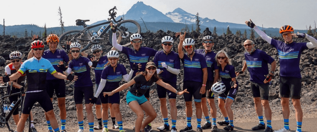
Exceptional Guides
They’re more than just experts in riding, they’re Trek Travel Certified mechanics and trained in delivering uncompromising service in ways you won’t believe. Think of them as your personal concierge, there to provide what you need before you even know you need it.
Guaranteed to run
Trips that are marked guaranteed are just that—guaranteed to run. If you’re going, we’re going. For trips of one or two guests, pay a small trip fee of $500 per person for two guests or $1000 for one guest, which ensures your preferred trip date will run.
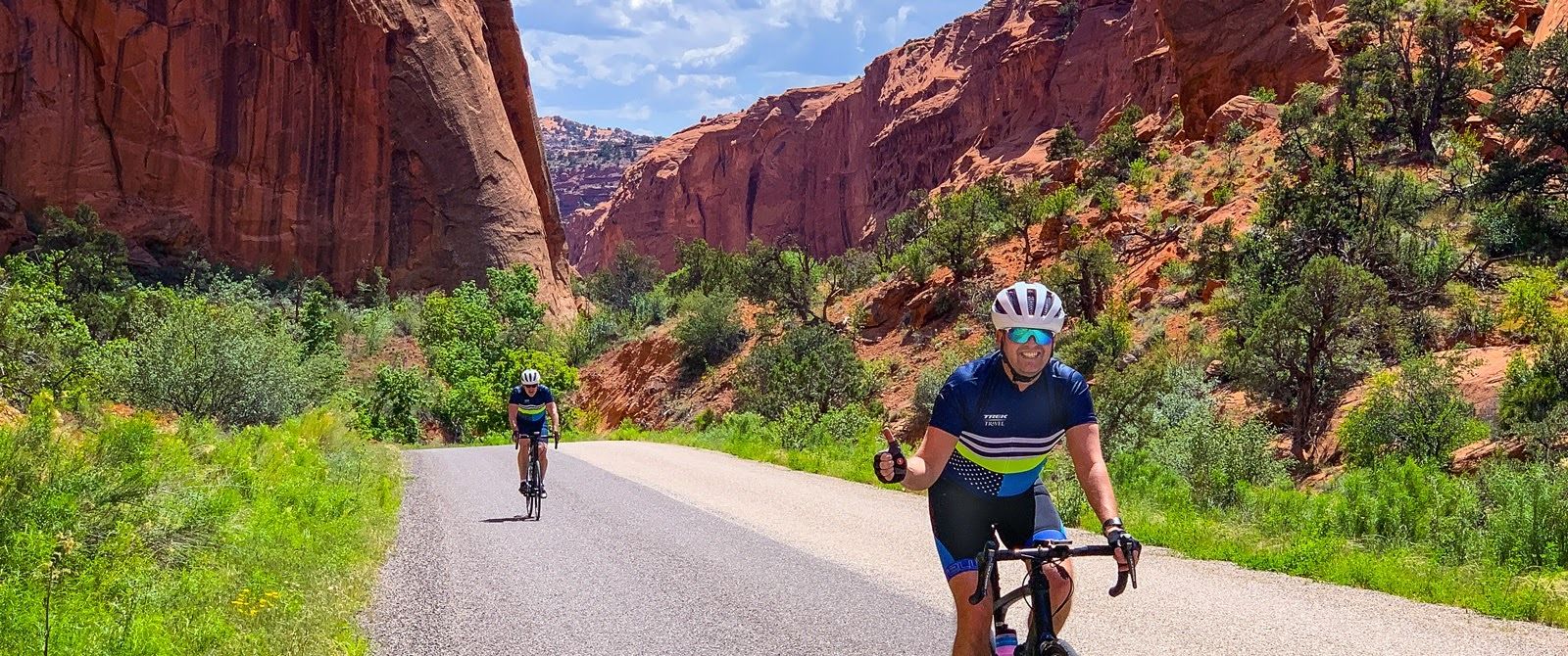
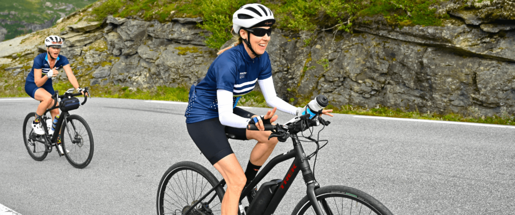
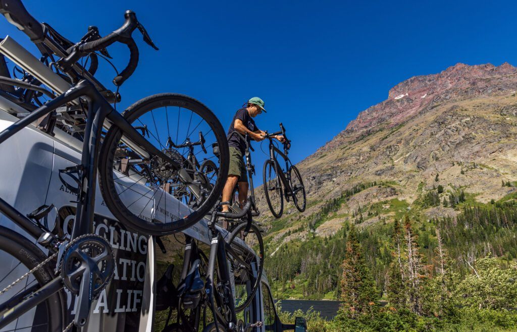
Bike fit
Whether it’s the all-new, smooth and race-ready Trek Domane with electronic shifting and disc brakes or the fan-favorite Trek Electric-Assist Verve+, you can be sure your bike fit will be dialed before the first ride.
Free Wifi
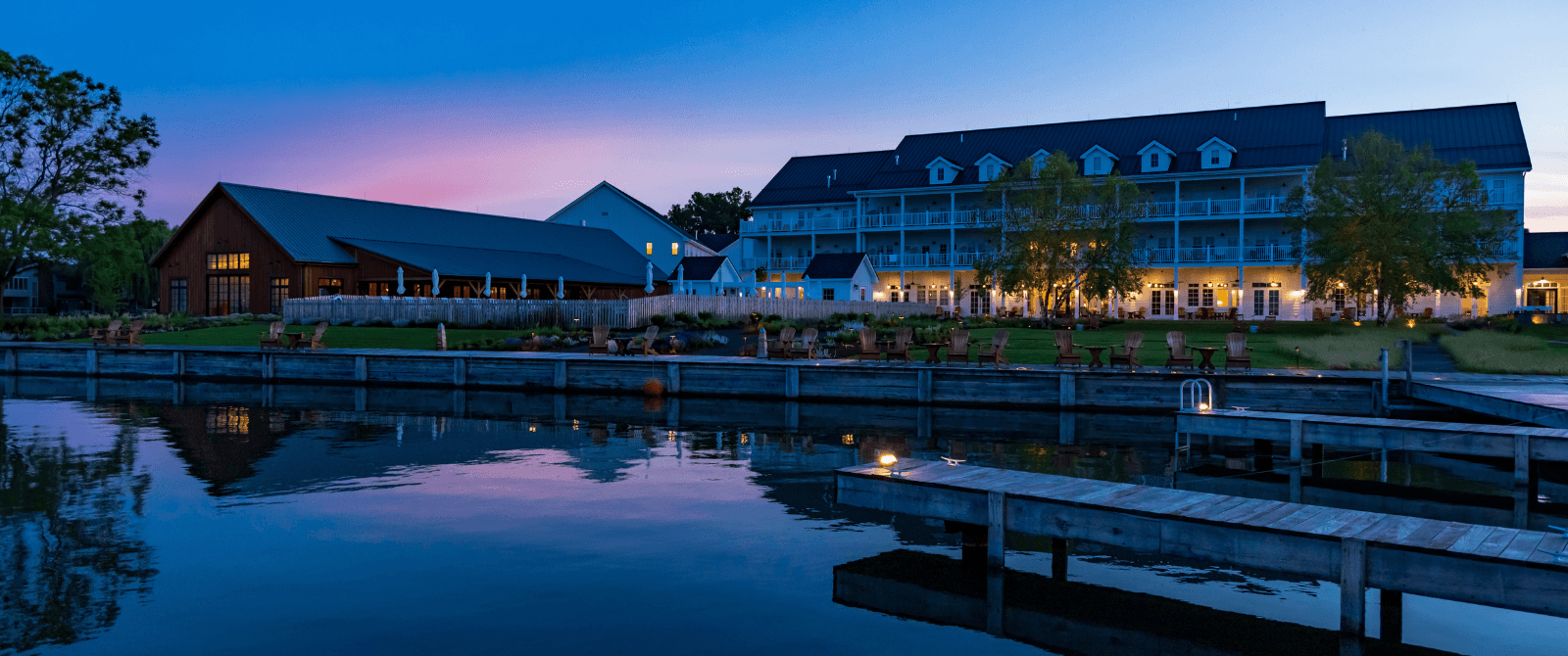
Sometimes part of vacation is going off the grid, but in those moments when you want to plug back in it should be easy and hassle free. That’s why we take care of wifi for every guest in each hotel we visit.
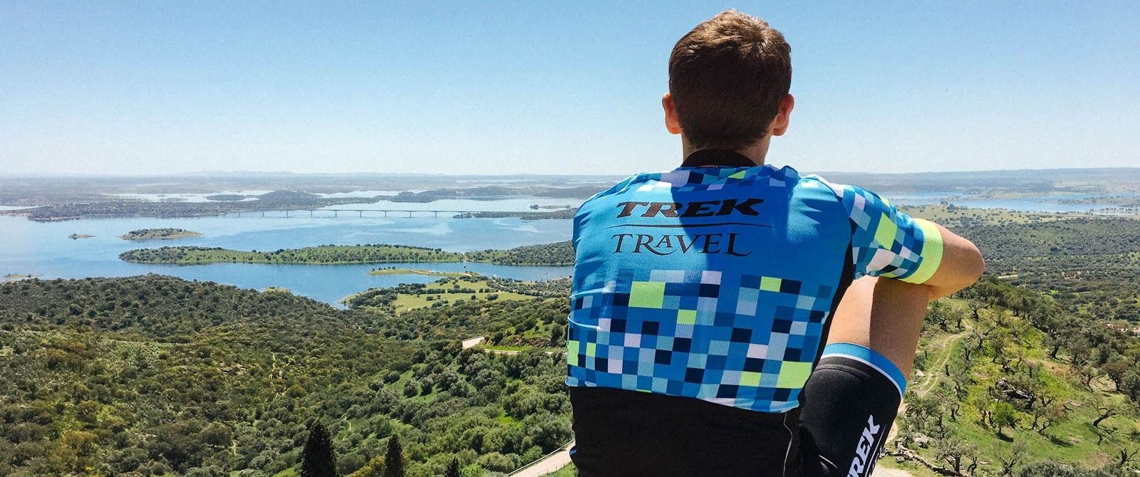
Trek Bike Discount and a Digital Photo Album
Once you return home, continue your cycling journey with a new Trek bike and relive your favorite moments with a trip-specific digital photo album.
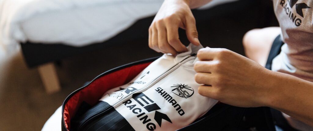
Pedals
We all know packing for a vacation can burst the seams on your favorite piece of luggage, but now you can lighten the load. Shimano R540 road pedals or Shimano M520 mountain pedals are included on every trip, so go ahead and leave yours at home.
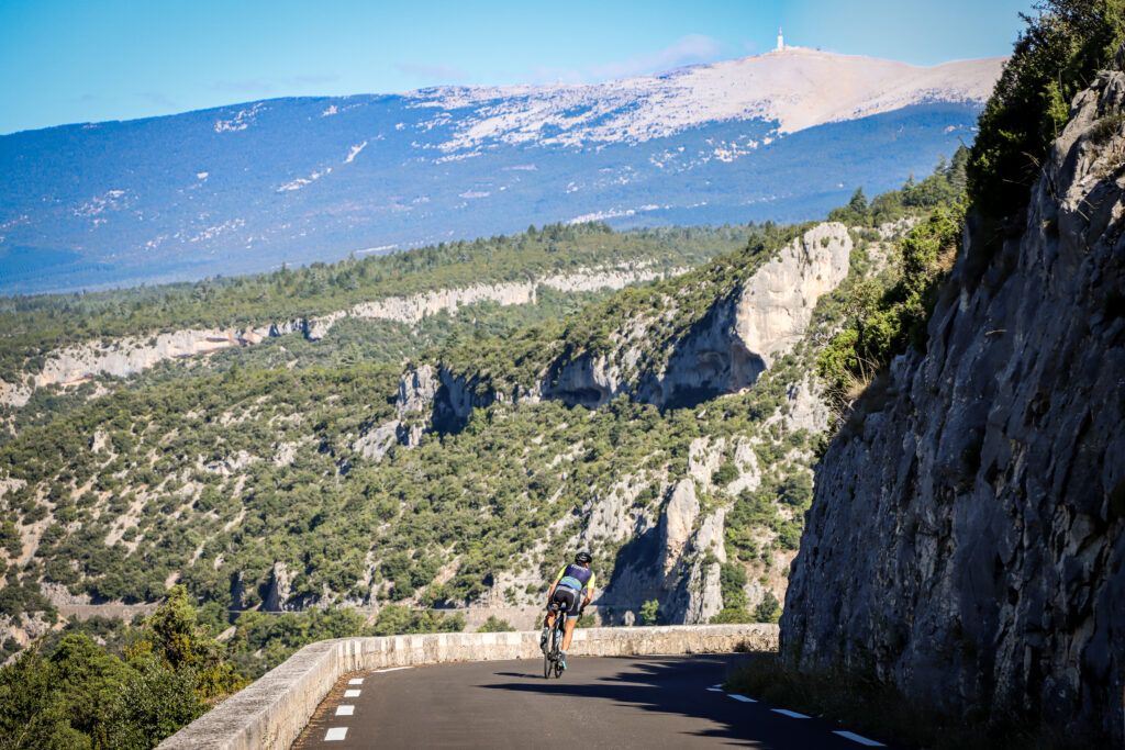
Safety First
Did you know that daytime lights can reduce the risk of accidents by up to 50%? That’s why we include a Bontrager Ion head light and the Flare daytime tail-light on all our bikes and all our trips, so you can enjoy the scenery without the worry.
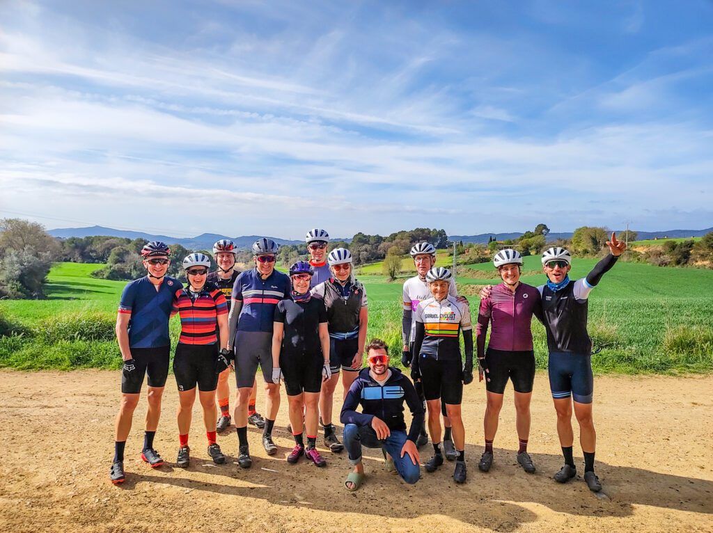
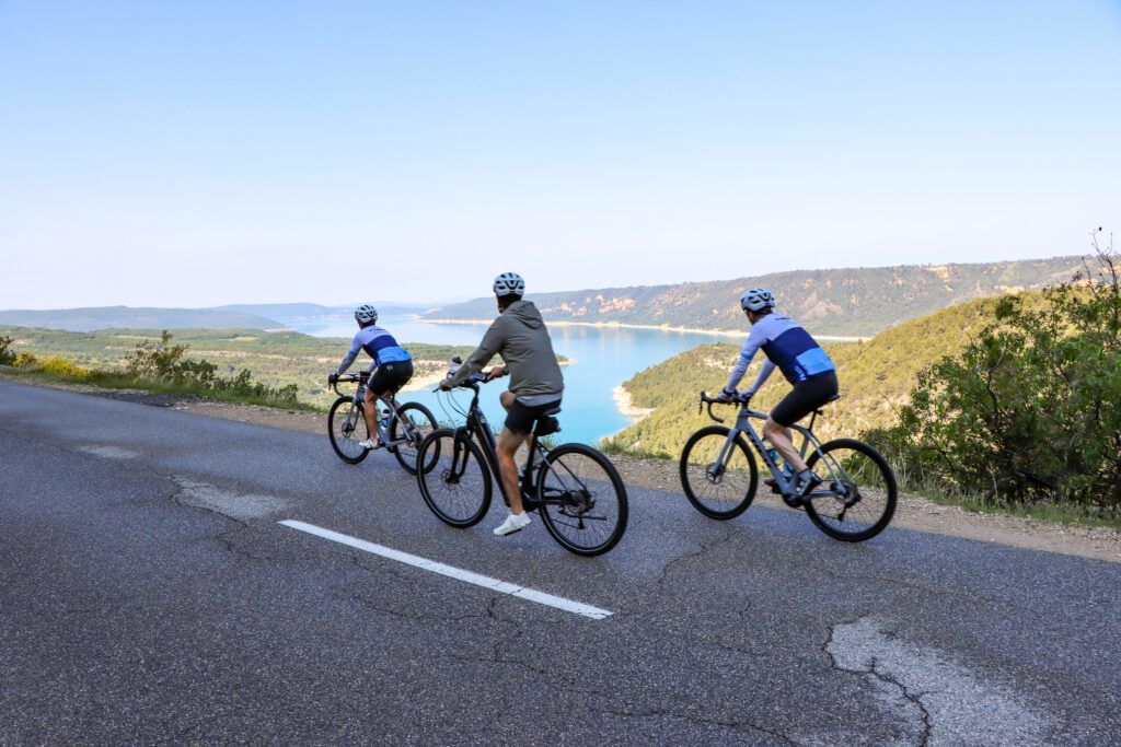
Jerseys
Look sharp on and off the bike. With most trips, you’ll receive a complimentary Trek Travel jersey perfect for storing snacks and meant to keep you comfortable no matter the terrain.
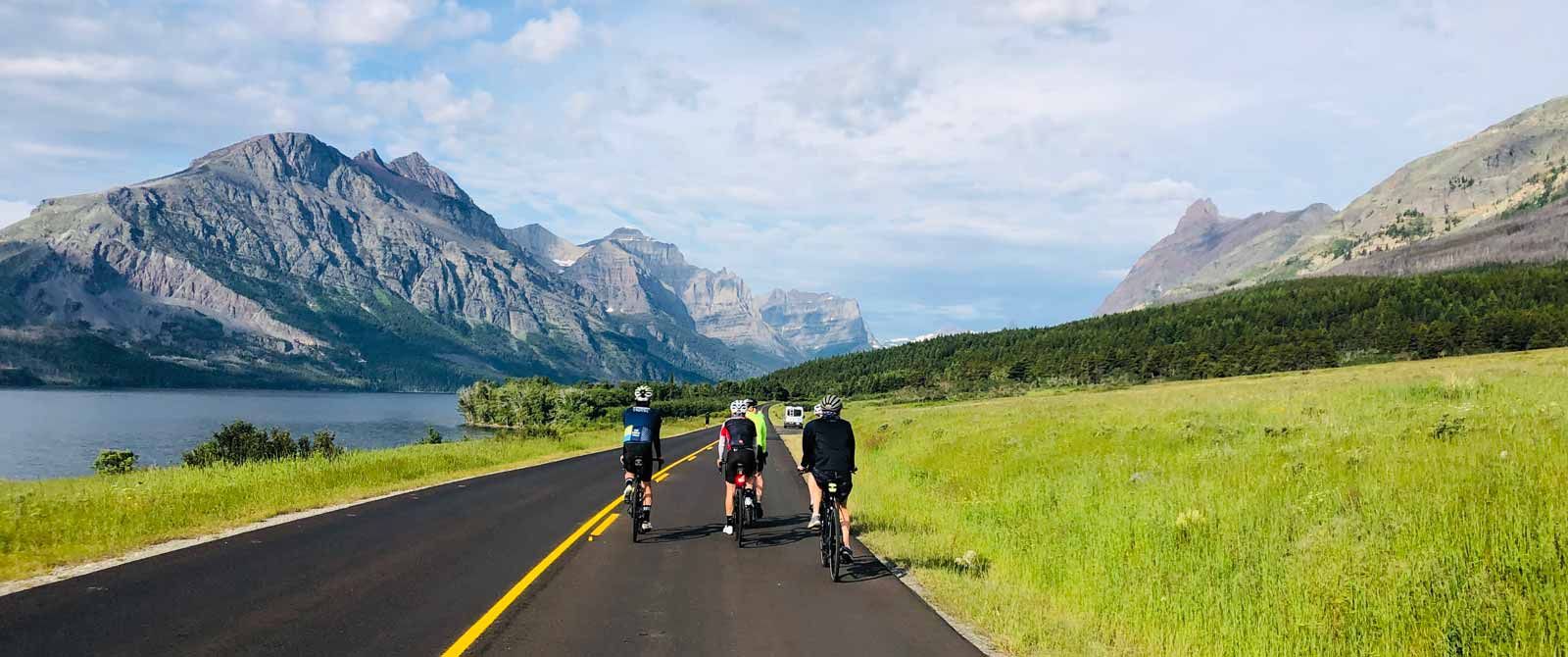
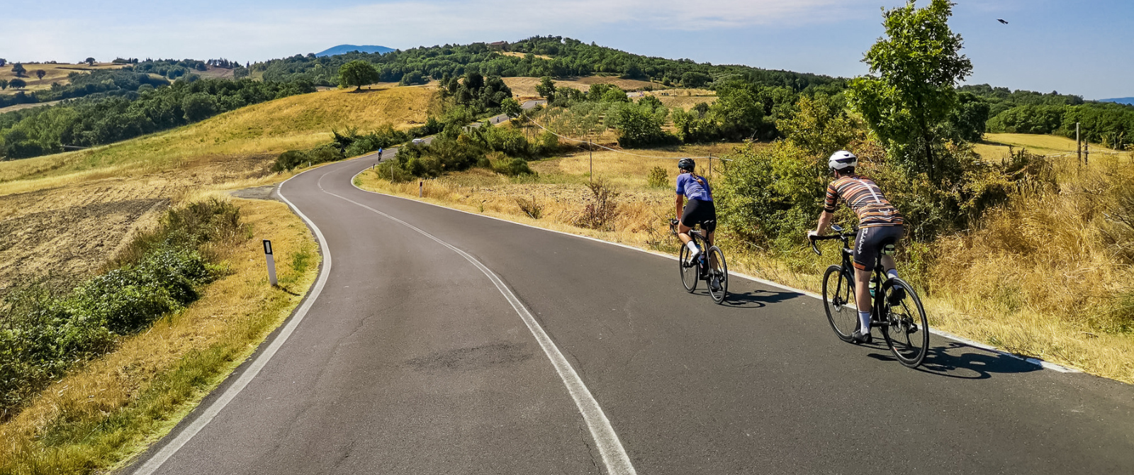
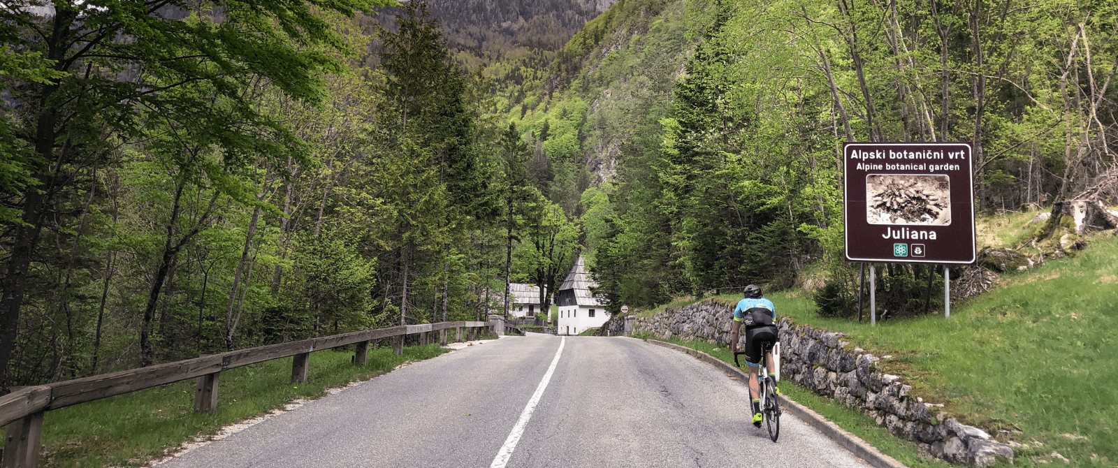
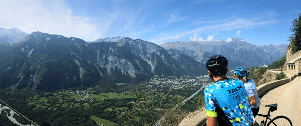
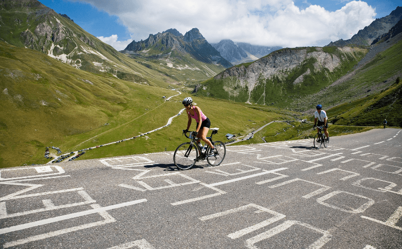
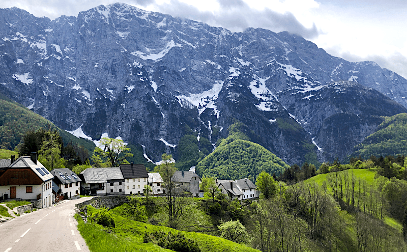
Advanced and Pre-loaded Routes
Whether you’re looking to really put in the miles or to go on a more leisurely spin, each day’s routes will be pre-loaded onto your Garmin so you never have to wonder, “Was that my turn back there?” Or if you prefer to bring your own device we’ve teamed with RideWithGPS to provide downloadable GPS routes ahead of time for all our trips so you can get the lay of the land before you even leave.
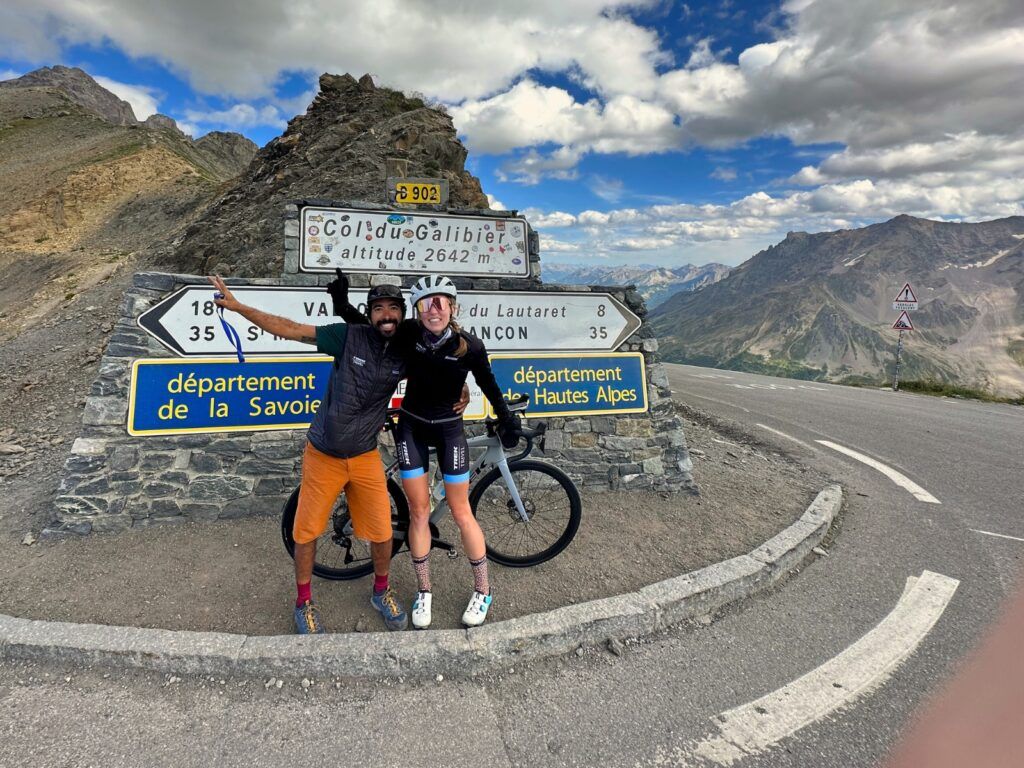
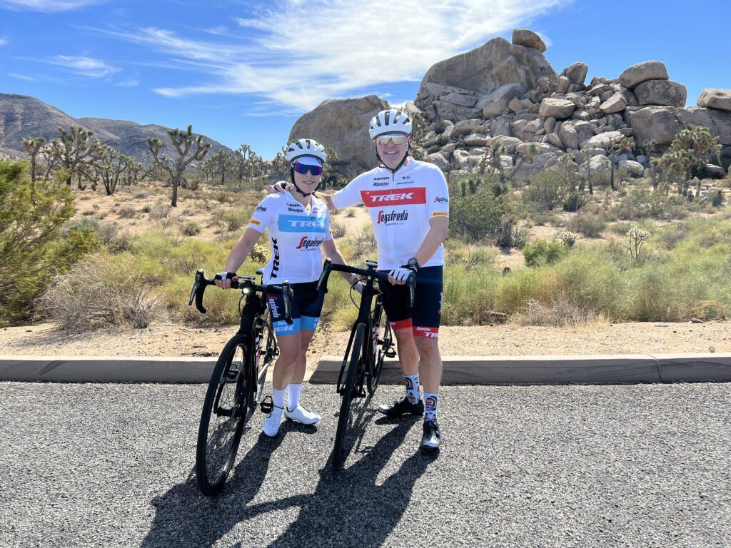
Team Access
As the official partner of Lidl-Trek, our trips are the best the industry has to offer, with VIP access and exclusive viewing spots. Watch the big attacks, meet the pros and drink in the drama. TV just can’t capture the electricity of a race. Luckily, that’s what we’re here for.